energy.wikisort.org - Power_plant
The Gitaru Hydroelectric Power Station, also known as the Gitaru Dam, is a rock and earth-filled embankment dam on the Tana River in Kenya. It straddles the border between Embu and Machakos Counties in the former Eastern Province. The primary purpose of the dam is hydroelectric power generation, and it supports a 225 megawatt power station.[1]
| Gitaru Hydroelectric Power Station | |
|---|---|
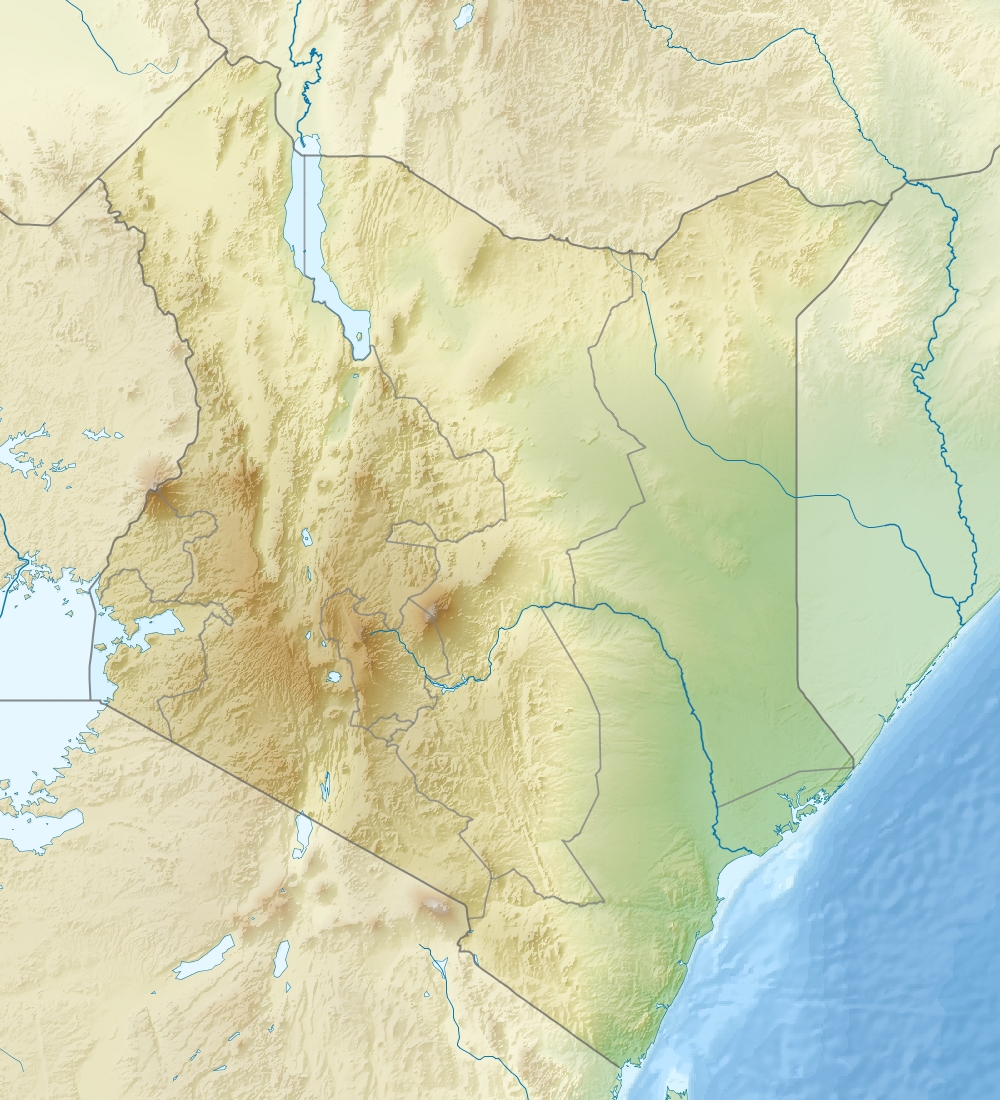 Location of Gitaru Hydroelectric Power Station in Kenya | |
| Country | Kenya |
| Location | Embu County/Machakos County |
| Coordinates | 00°47′43″S 37°45′09″E |
| Purpose | Power |
| Status | Operational |
| Construction began | 1975 |
| Opening date | 1978 |
| Owner(s) | Kenya Electricity Generating Company |
| Dam and spillways | |
| Type of dam | reservoir |
| Impounds | Tana River |
| Height | 30 m (98 ft) |
| Length | 580 m (1,900 ft) |
| Spillway capacity | 4,500 m3/s (160,000 cu ft/s) |
| Reservoir | |
| Total capacity | 16,000,000 m3 (13,000 acre⋅ft) |
| Normal elevation | 924 m (3,031 ft) |
| Gitaru Hydroelectric Power Station | |
| Coordinates | 00°47′43″S 37°45′09″E |
| Operator(s) | Kenya Electricity Generating Company |
| Commission date | 1999 (Unit 3) |
| Type | Run-of-the-river |
| Hydraulic head | 136 m (446 ft) |
| Turbines | 2 x 72 MW, 1 x 81 MW Francis-type |
| Installed capacity | 225 MW (302,000 hp) |
Location
The power station is located approximately 16.5 kilometres (10 mi), by road, east of the town of Mavuria in Embu County.[2] This is approximately 161 kilometres (100 mi), by road, northeast of Nairobi, Kenya's capital city.[3] The geographical coordinates of Gitaru Power Station are:00°47'43.0"S, 37°45'09.0"E (Latitude:-0.795278; Longitude:37.752500).[4]
History
Construction of the dam began in 1975 and was completed in 1978. The third generating set, mobilizing the full potential of the power station was not commissioned until 1999.[5] The World Bank lent US$63 million towards the development of this power station. The station is operated by the Kenya Electricity Generating Company and is part of the Seven Forks Scheme.[6]
Overview
The 30 m (98 ft) tall dam withholds a 16,000,000 m3 (13,000 acre⋅ft) reservoir. The relatively small reservoir relies on steady releases from the Masinga and Kamburu Dams upstream. The reservoir power station is located underground near the left abutment. It contains two 72 megawatt and one 81 megawatt Francis turbine-generators. Water released from the station is returned to the Tana at the Kindaruma Reservoir via a 4.7 km (2.9 mi) long tailrace tunnel. The difference in elevation between the reservoir and power station affords a net hydraulic head of 136 m (446 ft).[7]
See also
- Kamburu Hydroelectric Power Station – Upstream
- Kindaruma Hydroelectric Power Station – Downstream
- List of power stations in Kenya
References
- KenGen (2010). "About Gitaru Hydroelectric Power Station". Nairobi: Kenya Electricity Generating Company. Retrieved 28 September 2020.
- Google (28 September 2020). "Road Distance Between Mavuria And Gitaru Hydroelectric Power Station" (Map). Google Maps. Google. Retrieved 28 September 2020.
- Google (28 September 2020). "Road Distance Between Nairobi And Gitaru Hydroelectric Power Station" (Map). Google Maps. Google. Retrieved 28 September 2020.
- Google (28 September 2020). "Location of Gitaru Hydroelectric Power Station" (Map). Google Maps. Google. Retrieved 28 September 2020.
- KenGen (17 April 2016). "History of Gitaru Hydroelectric Power Station". Nairobi: Kenya Electricity Generating Company. Archived from the original (Archived from the original on 17 April 2016) on 17 April 2016. Retrieved 28 September 2020.
- World Bank (1975). "Kenya - Gitaru Hydroelectric Project (English)". Washington, DC: World Bank. Retrieved 28 September 2020.
- "Kenya - Appraisal of the Gitaru Hydroelectric Project" (PDF). World Bank. 23 May 1975. pp. Annex 5. Retrieved 21 February 2015.
На других языках
[de] Kraftwerk Gitaru
Das Kraftwerk Gitaru (englisch Gitaru power station) ist ein Laufwasserkraftwerk auf der Grenze zwischen den Countys Embu und Machakos in Kenia. Es ist am längsten Fluss Kenias, dem Tana, gelegen.- [en] Gitaru Hydroelectric Power Station
[ru] Гитару (ГЭС)
Гитару — действующая гидроэлектростанция в Кении, расположенная на реке Тана. Её мощность составляет 225 мегаватт. Строительство началось в 1975 году, а завершилось в 1978-м. Однако электростанция была введена в строй лишь в 1999 году. США выделила на её строительство через Всемирный банк 63 миллиона долларов[1]. Владельцем гидроэлектростанции является основанная в 1954 году компания KenGen (англ.) (рус., которая вырабатывает до 72% всей электроэнергии в Кении[2].Другой контент может иметь иную лицензию. Перед использованием материалов сайта WikiSort.org внимательно изучите правила лицензирования конкретных элементов наполнения сайта.
WikiSort.org - проект по пересортировке и дополнению контента Википедии